Part Three | Neighbours
Pictures and Maps from
Part Three | Neighbours
Maps and images from Chapter Sixteen:
Cornwall's Ancient Regions
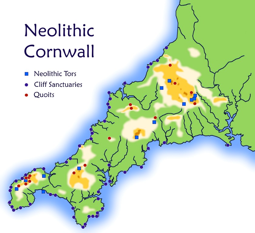
Map of Neolithic Cornwall
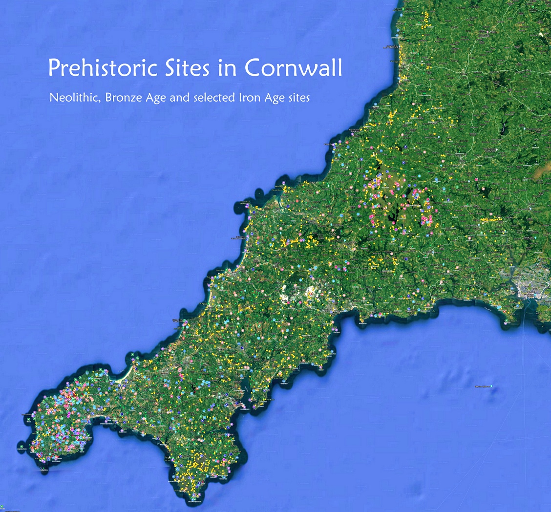
Map of the ancient sites of Cornwall. Click the map for a larger version.
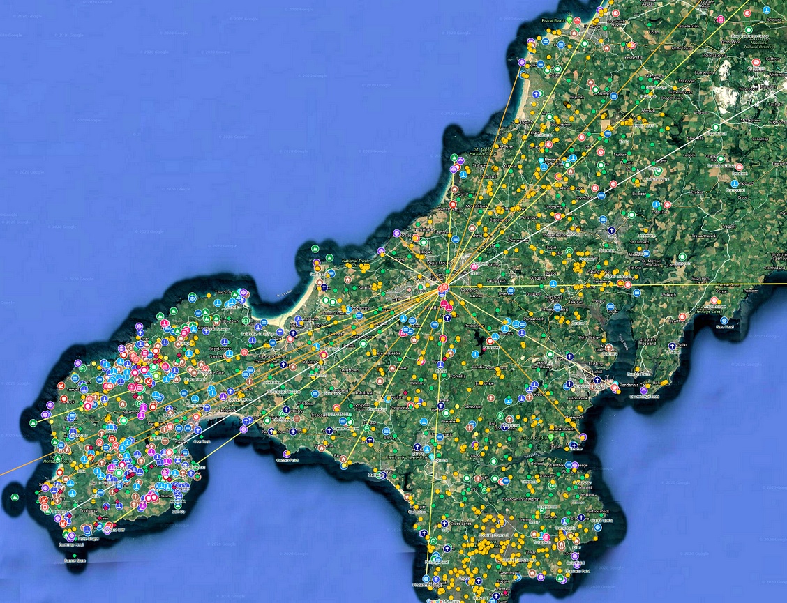
Radial alignments emanating from Carn Brea, aligned with cliff sanctuaries and other key sites
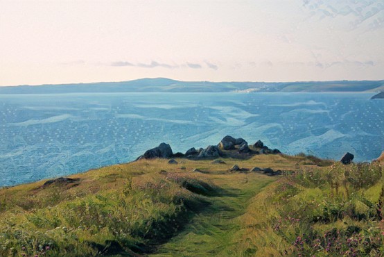
Predannack Head on the Lizard, a type three cliff sanctuary, with Tregonning Hill in the background
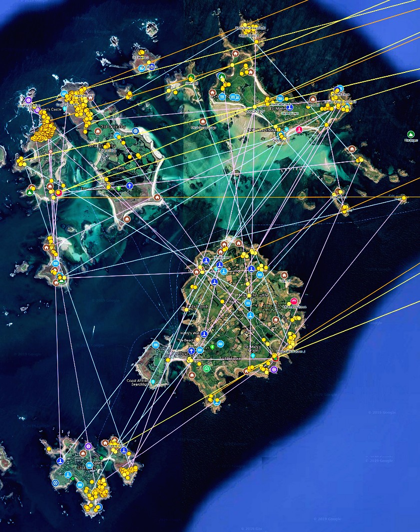
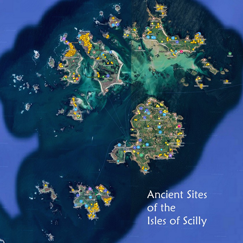
Ancient sites of the Isles of Scilly. Click the map for a larger one.
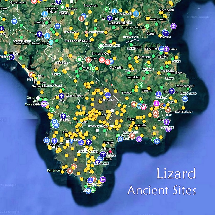
Ancient sites of the Lizard peninsula
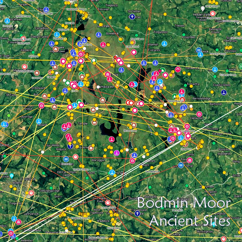
Ancient sites of Bodmin Moor
Maps and images from Chapter Seventeen:
The Isle of Scilly
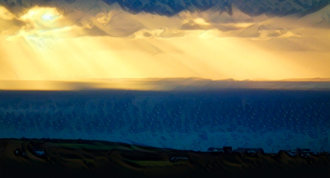
The Isles of Scilly, as seen from near Tregeseal stone circle
The cairnfields in the north of the islands, on Bryher and Tresco
Click here for a larger map
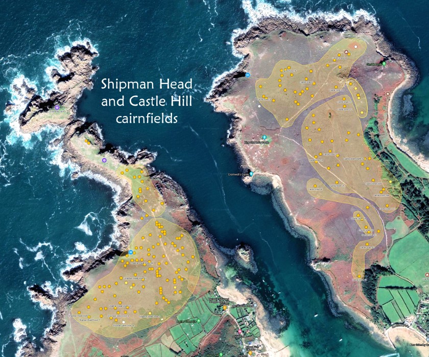
Alignments on the Isles of Scilly