Audiobook | Pics and Maps | Part 1
Part One
Maps and images for
Episodes 1-3
West Penwith is a surprisingly important area for megalithic sites. West Penwith or Belerion is the toe at the far end of Cornwall in the southwest of the Isles of Britain.
Dense with ancient sites, its rich prehistory goes back 6,000 years. The achievements of Britain’s megalithic civilisation are well represented on this rather remote peninsula.
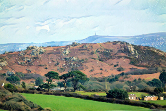
Two Neolithic tor enclosures, from the mid-3000s BCE. In front, Trencrom Hill, guarding the eastern edge of the peninsula, and behind, Carn Brea, above Camborne, another tor enclosure a full day's walk from Trencrom Hill.
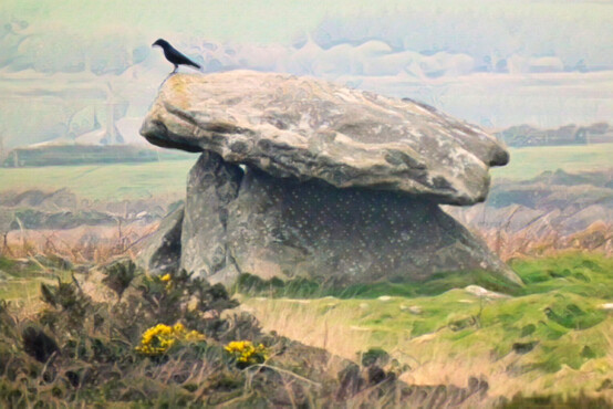
Chûn Quoit, the one fully-intact quoit remaining in West Penwith, dating from around 3,500 BCE and a remarkable feat of engineering for its time.
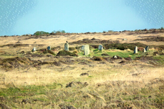
The Nine Maidens or Boskednan stone circle
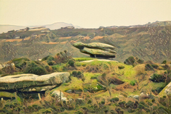
A Neolithic placed stone on Sperris Croft (Zennor Hill)
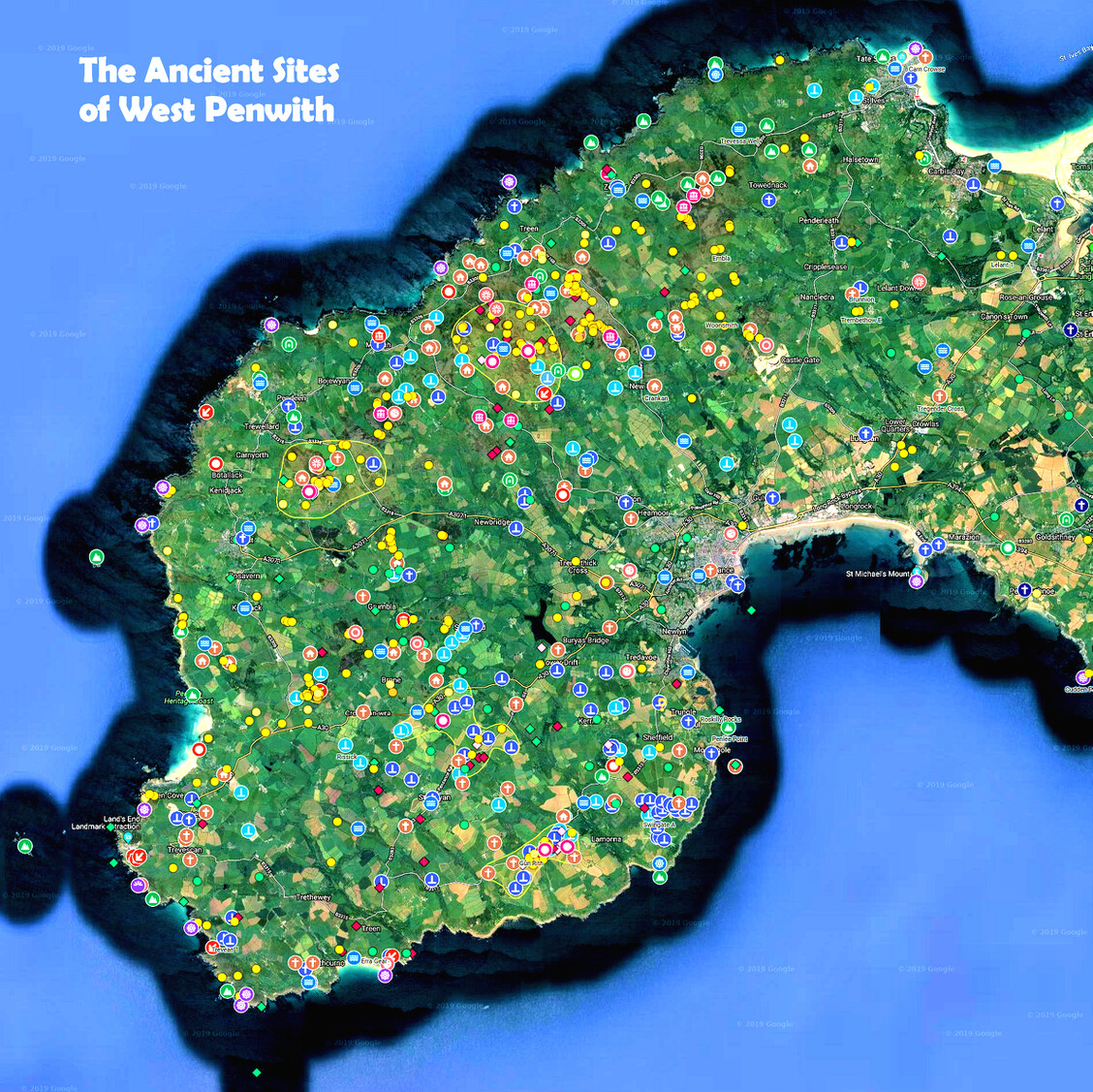
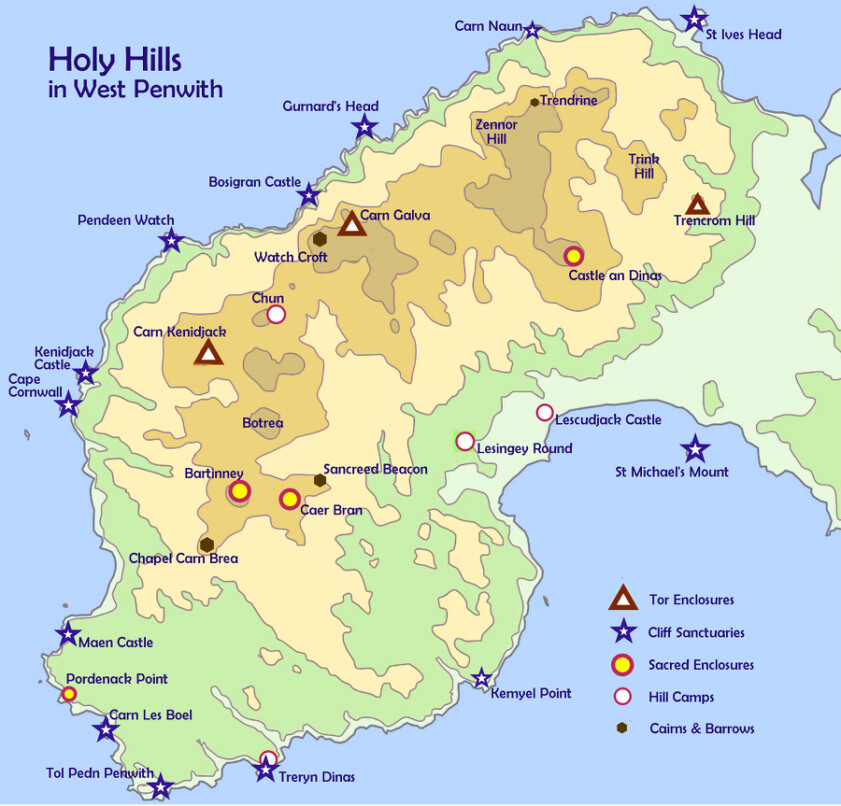
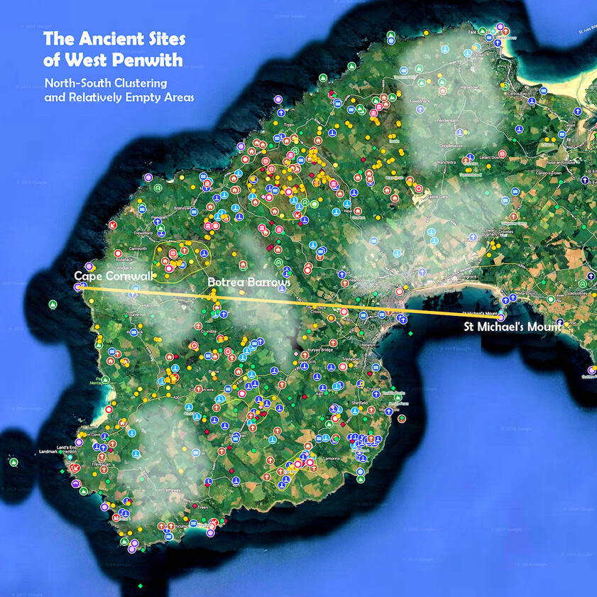
Map of the ancient sites of West Penwith
To see a larger version, click here
Energy Fields and Alignments
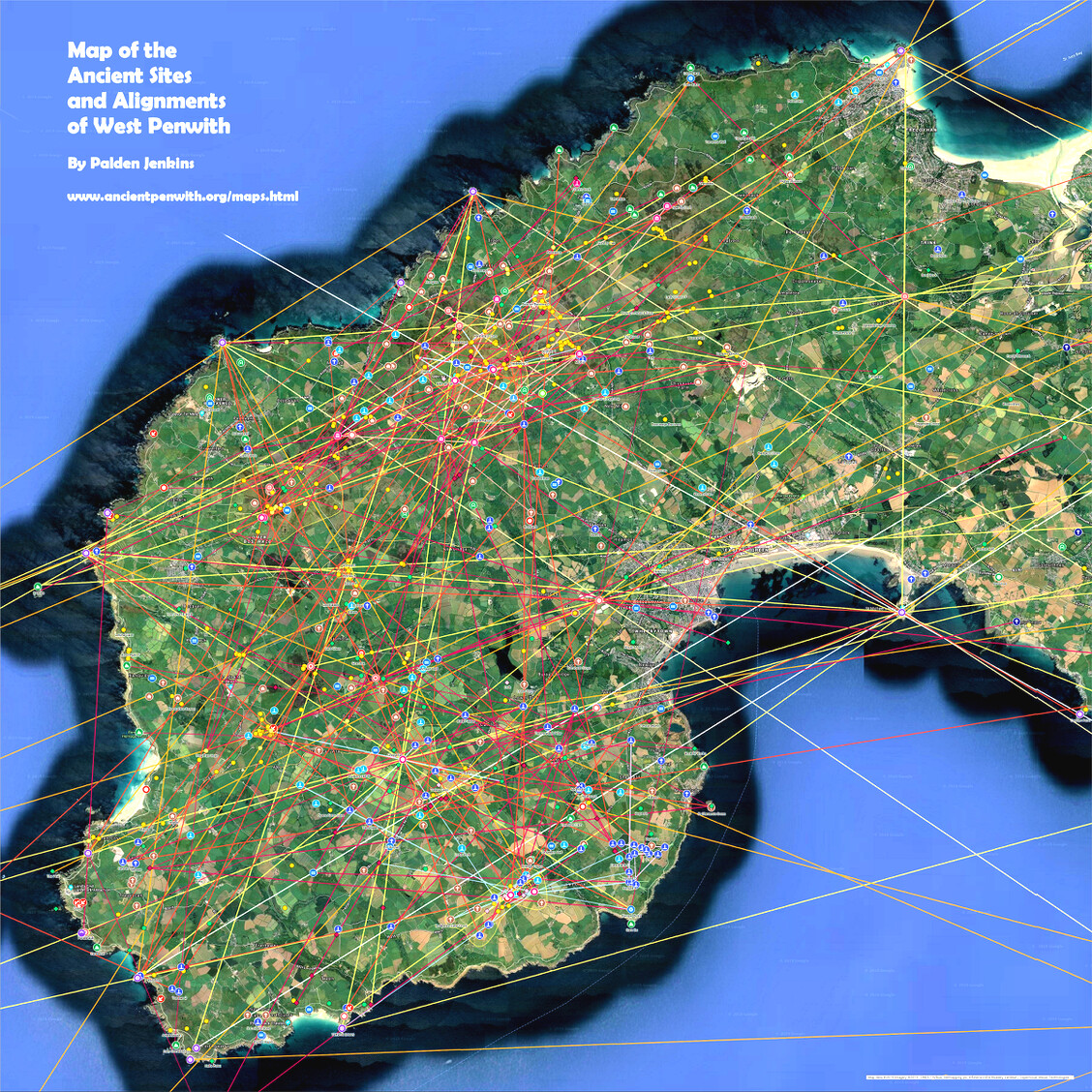
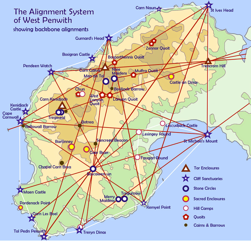
Map of Ancient Site Alignments in West Penwith
For a larger version, click here.
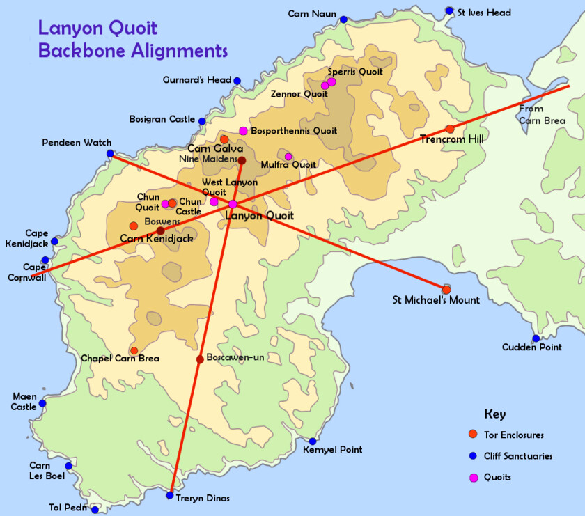
Map showing how Lanyon Quoit was located on intersecting backbone alignments
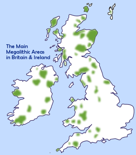
There were around 15-20 main megalithic areas in Britain and Ireland, of which West Penwith was one.
In Britain megalithic areas were concentrated in the west and north, mainly around the Irish Sea.
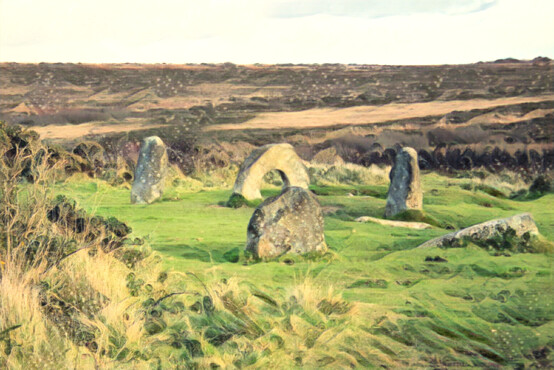
The Mȇn an Tol, formerly a stone circle. Most of the stones are still possible to find at the site.
The current arrangement of stones was made in Victorian times.
Why were Megaliths Built?
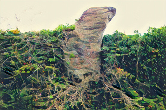
The Seal Stone, Higher Bosistow
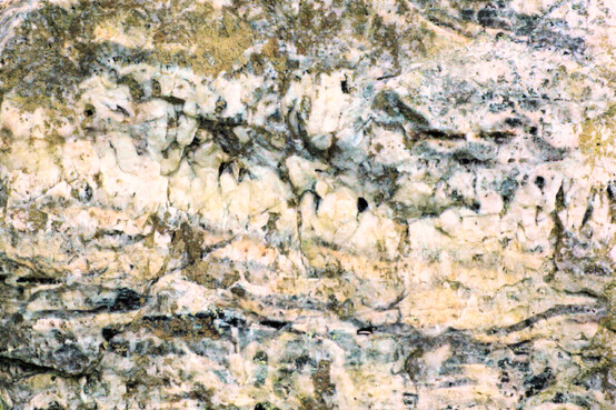
The Quartz Stone, Boscawen-ûn
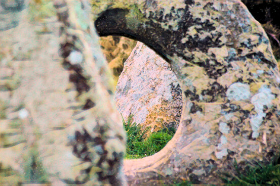
The Mȇn an Tol
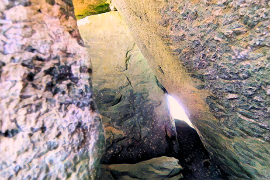
Looking into Chûn Quoit through the main gap,
with the blocking stone oppositeStarting Propositions
Map of the ancient sites of West Penwith, showing areas relatively empty of sites (probably patches of wildwood in the Bronze Age) and the two halves of Penwith.
In the Neolithic 3000s, the main area of occupation was in the northern uplands, but by 1800 BCE, at the peak of the Bronze Age, the south was more fully colonised and developed.
This is a key map - look closely!
Map of the cliff sanctuaries in West Penwith, showing how many of the ancient sites are placed on alignments between them (and Neolithic tors).
The cliff sanctuaries form a ring of light around the peninsula. They were crucial sites in the Neolithic 3000s, and this continued through the Bronze Age and particularly the Iron Age.
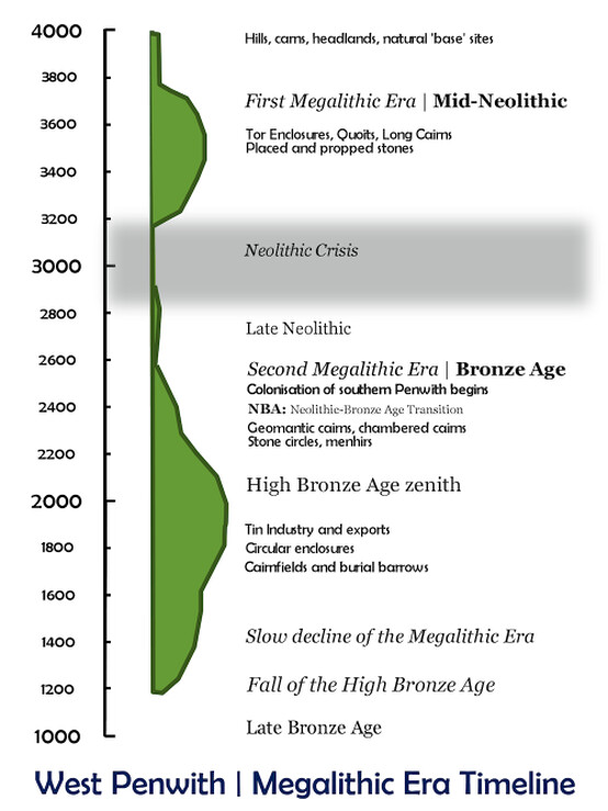
Megalithic Era timeline for West Penwith
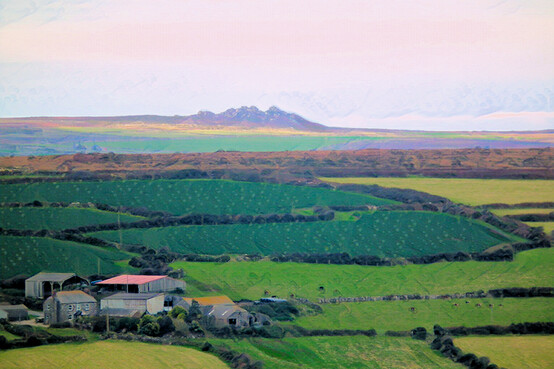
Carn Galva as seen from Caer Brân