Audiobook | Part 3 | Deep Geomancy
Part Four
Deep Geomancy
8. Megalithic Tech: Alignments and Power Points
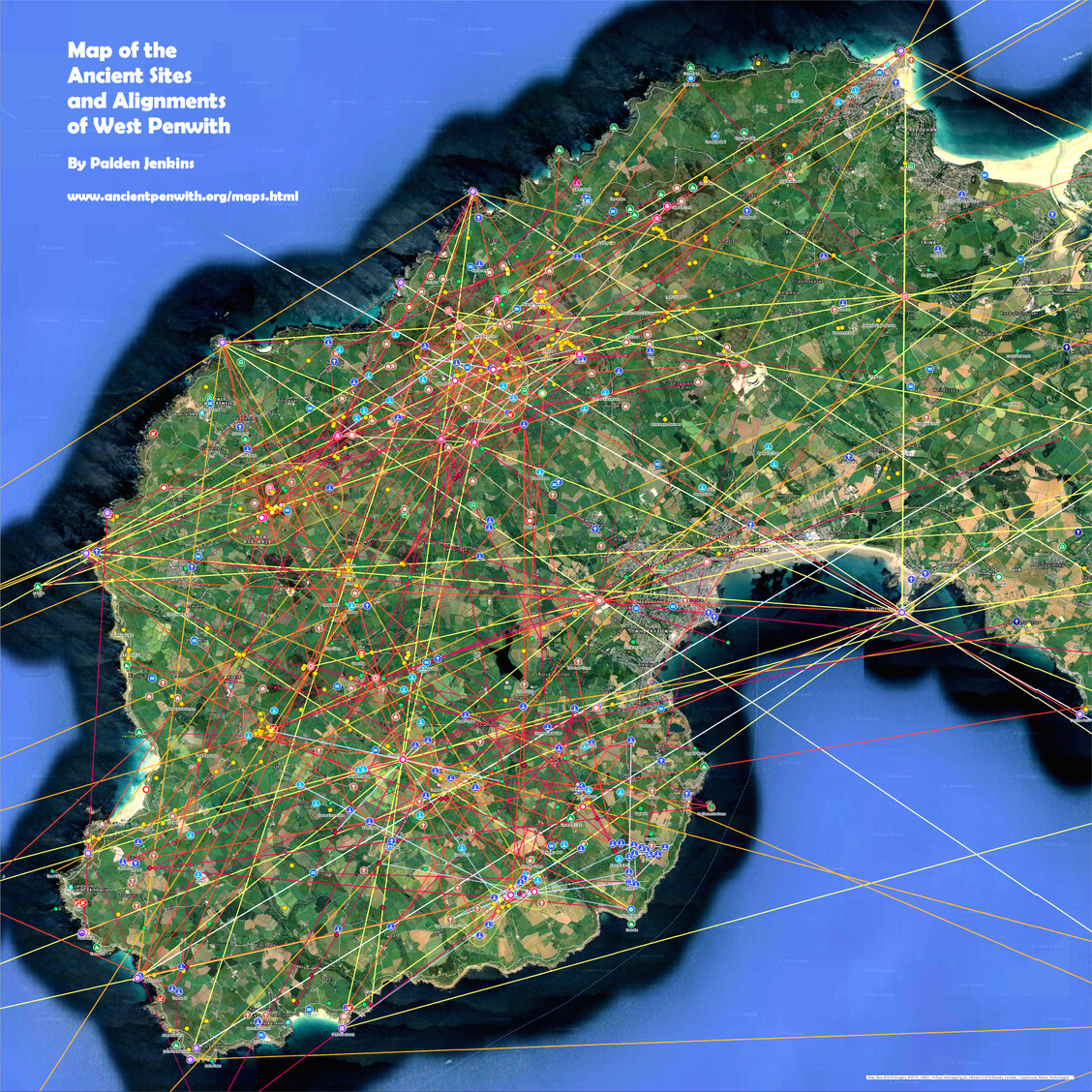
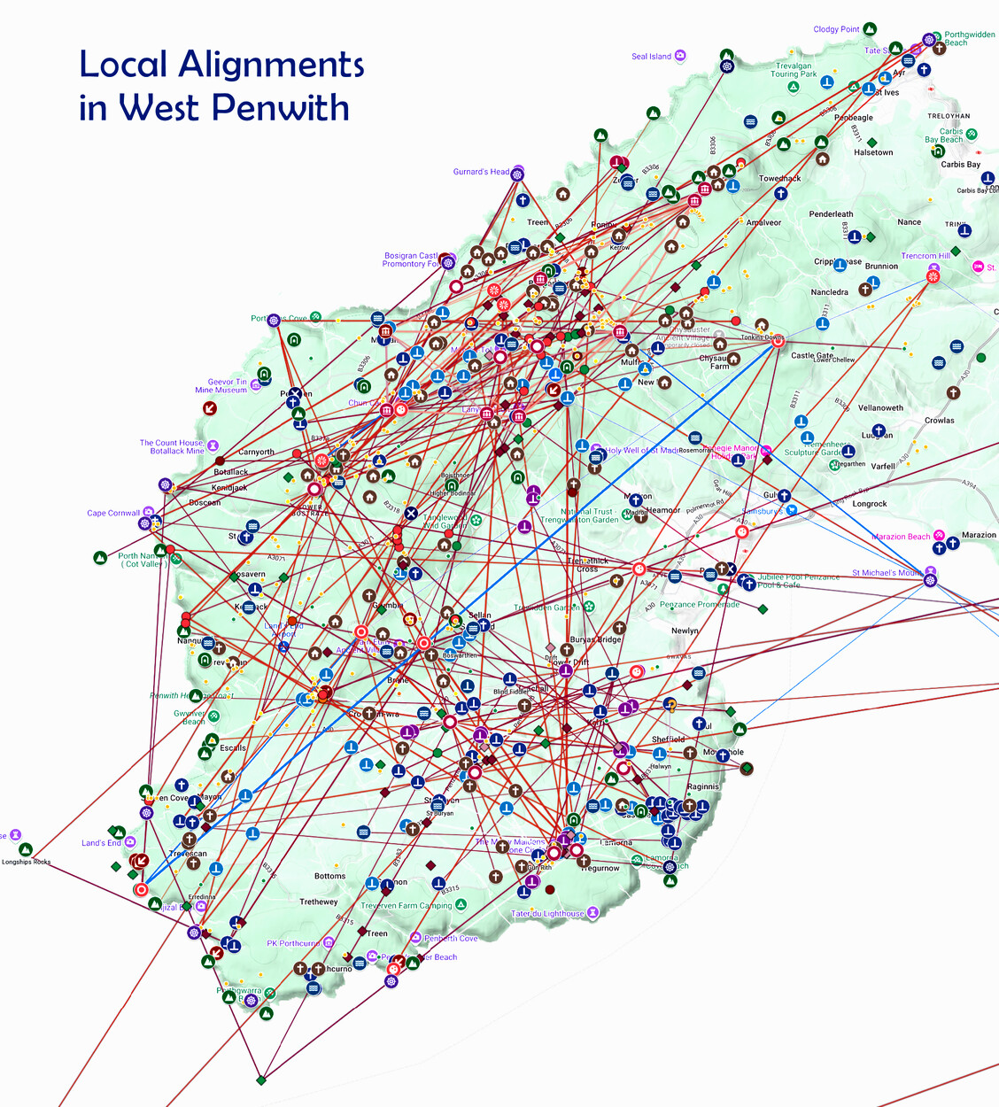
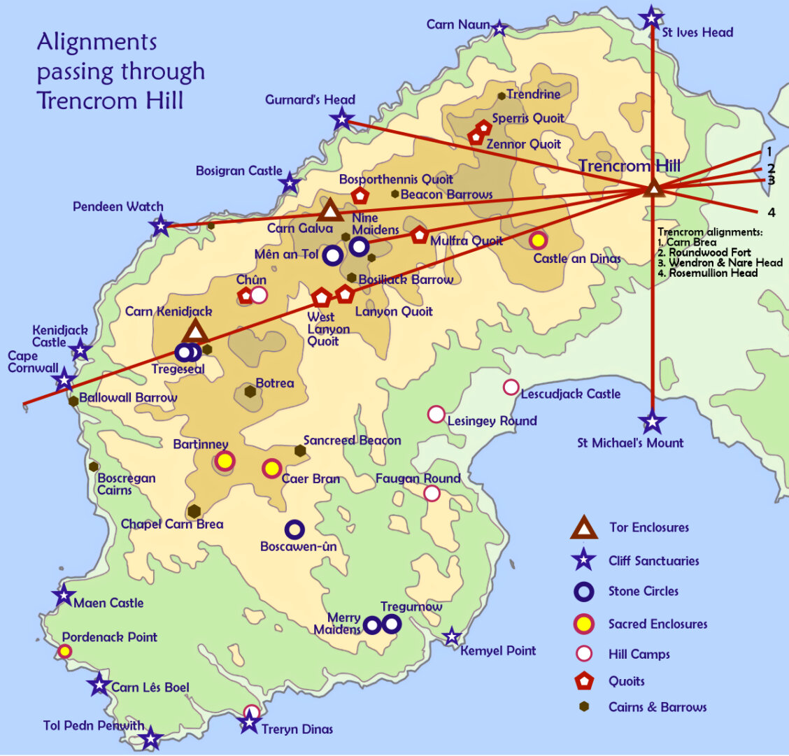
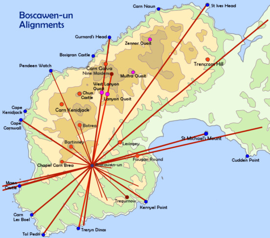
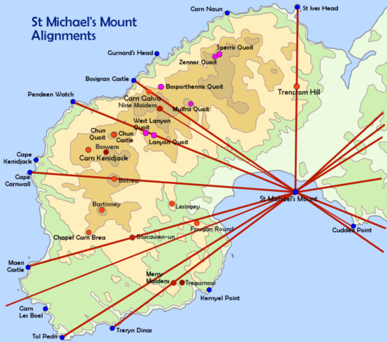
Map of Local Alignments in West Penwith
Power Points
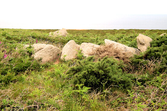
Chy Praze cairn
on the north coast near Portheras Cove
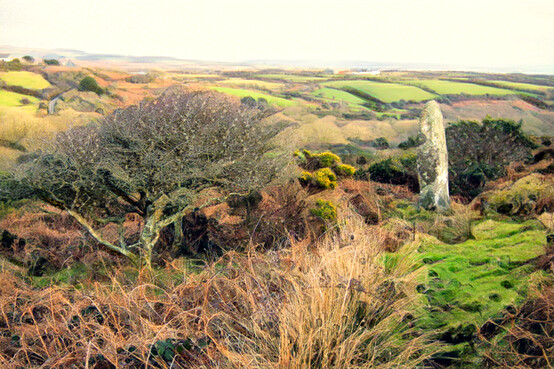
Carfury menhir
a major hub and relay menhir
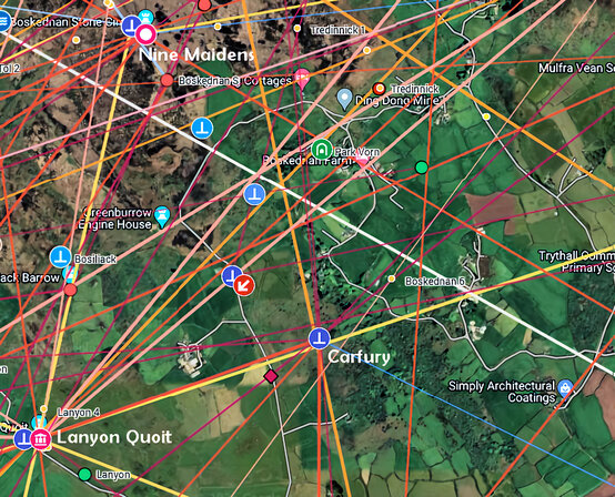
Carfury menhir's position
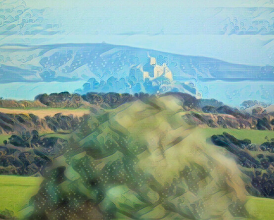
Carfury menhir
and its astronomical alignment to St Michael's Mount
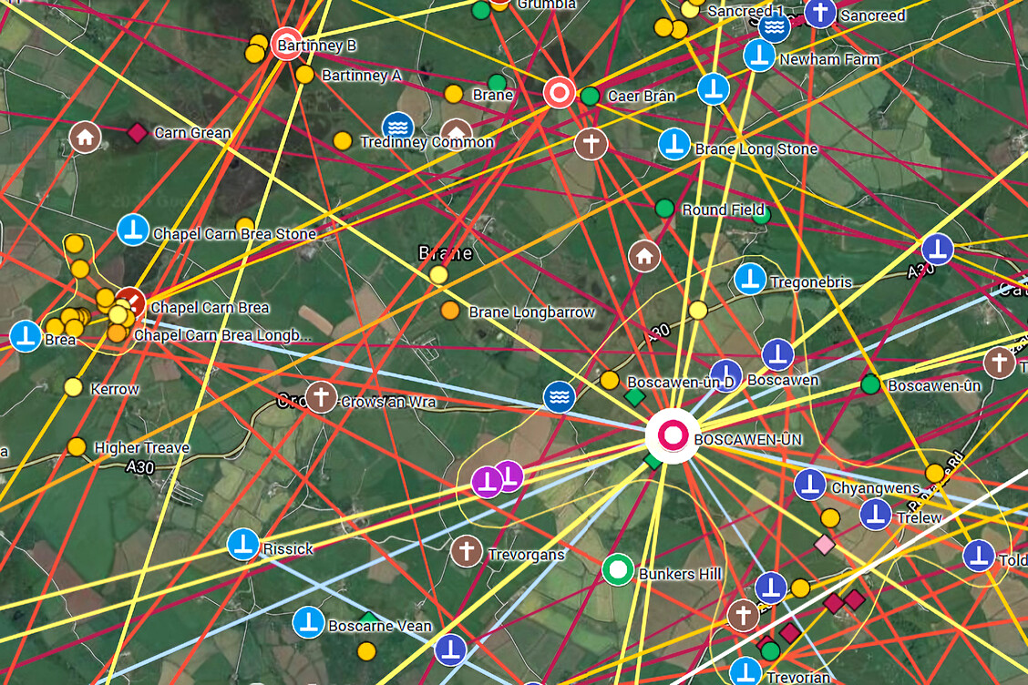
Alignments in the Boscawen-ûn stone circle complex
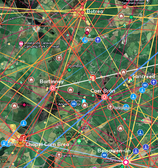
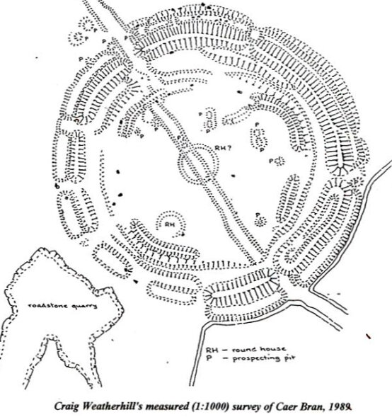
Caer Brân
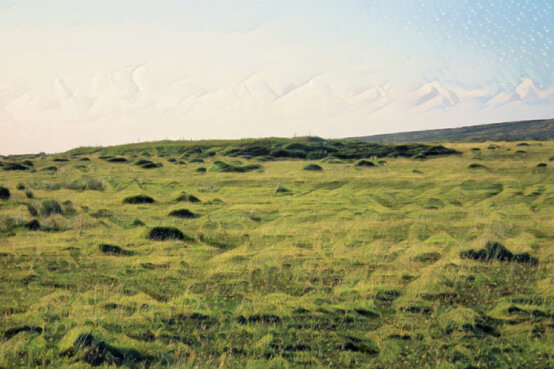
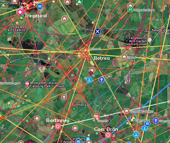
Botrea Barrows
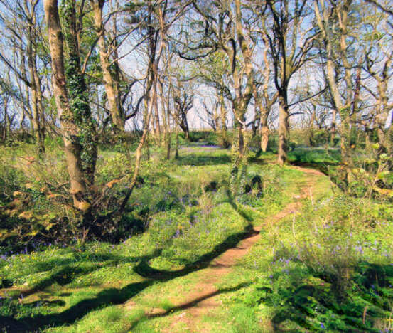
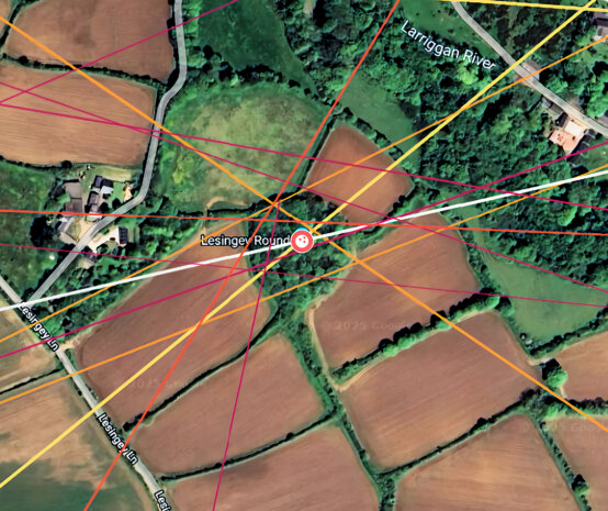
Lesingey Round
9. Reality Fields
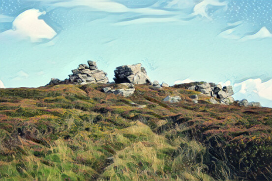
Carn Kenidjack
A natural primary base site and Neolithic tor
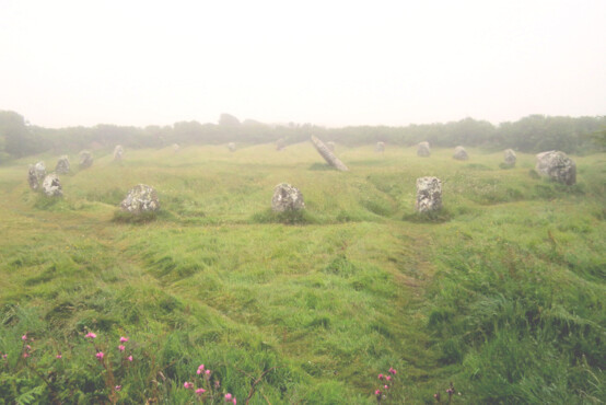
Boscawen-ûn, lost in the mist
A major alignment hub
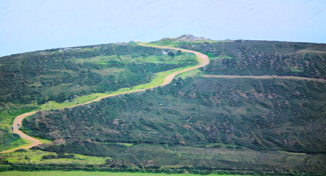
Chapel Carn Brea
The last hill in Britain, topped by neolithic and bronze age barrows
10. Psychogeoengineering
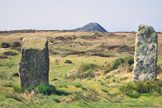
Carn Galva
as seen from the Nine Maidens stone circle
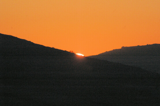
Summer solstice sunset as seen from Trencrom Hill
the sun rolls down the left-hand slope, setting between Trink Hill (L) and Rosewall Hill (R)
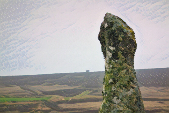
Boswens menhir
Proxy menhir for Tregeseal - with Chûn Quoit behind on a 'false horizon'
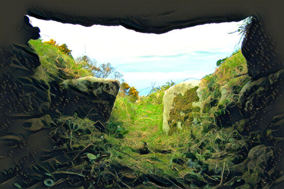
Chambered cairn at Treen
One of two, uphill from Gurnard's Head
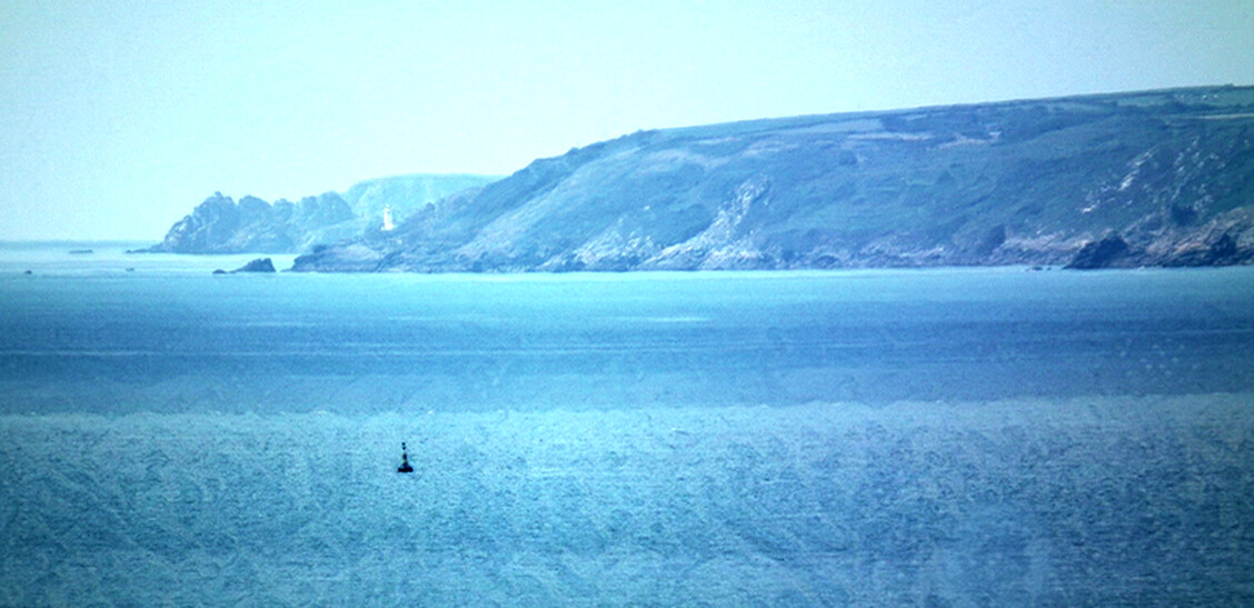
Treryn Dinas across Mount's Bay
in the far distance, as seen from Trewavas Head on the Lizard
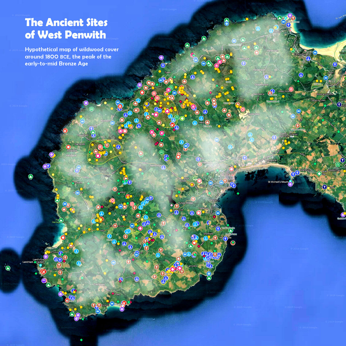
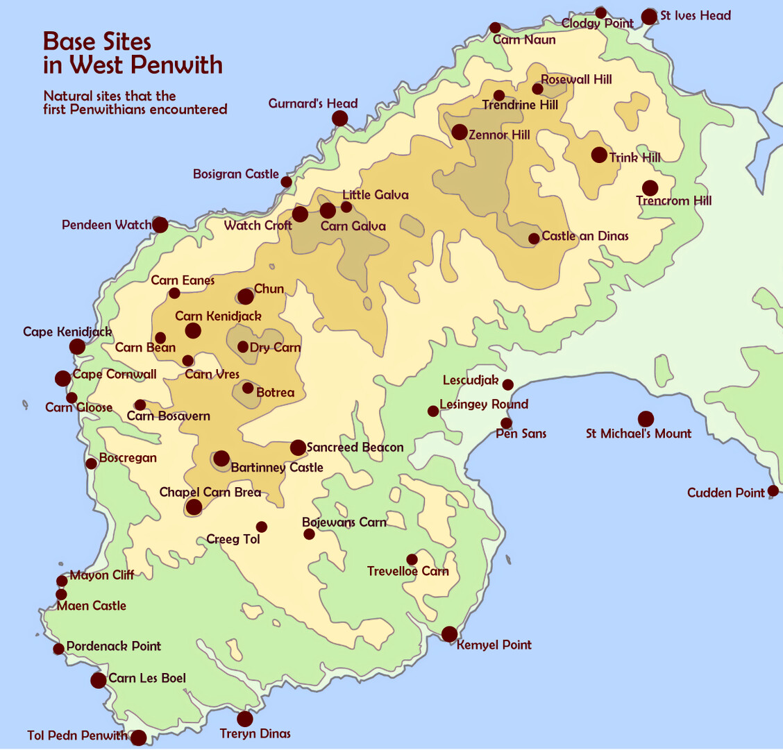
Conjectural map of wildwood cover in Penwith around 1800 BCE
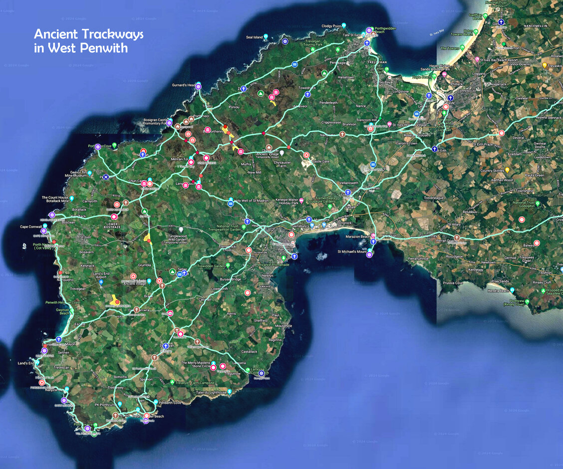
Conjectural map of main trackways in Penwith around 1800 BCE

Conjectural map of clan areas and landscape temples in Penwith around 1800 BCE
11. The Heart of the World
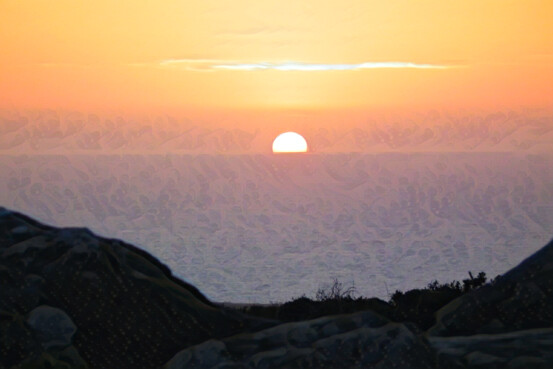
Summer solstice sun from Woon Gumpus
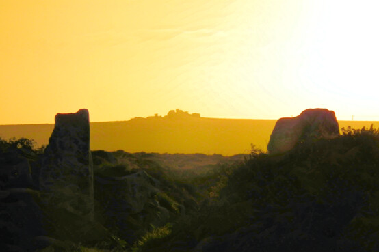
Carn Kenidjack as seen
from the gateway to Chûn Castle
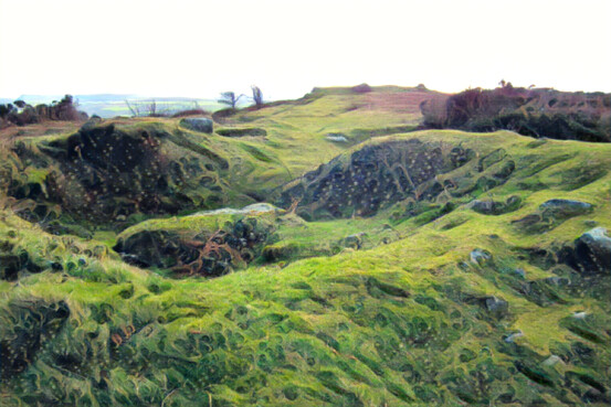
Cairn on Sancreed Beacon
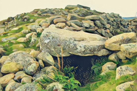
Summit cairn on Chapel Carn Brea
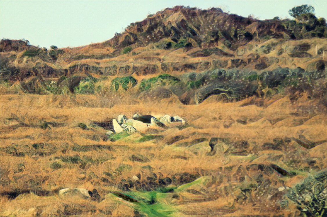
Bosiliack Barrow from Lanyon Quoit