Part Two | Ancient Sites in Penwith | 2
Pictures and Maps from
Part Two | section two
Chapters 10-15
Maps and images from Chapter Ten:
Cairns and Barrows
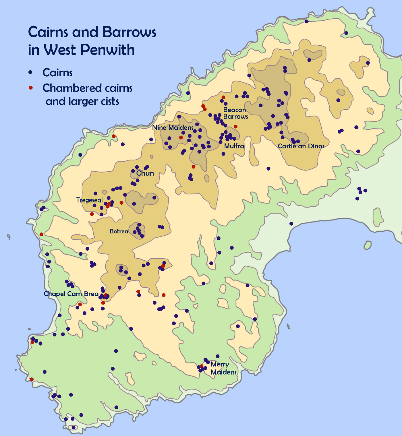
Cairns and Barrows in West Penwith. Notice their preponderance in the upland north of the peninsula. Generally, cairns are made of earth and stone while barrows are made of earth.
Solid cairns were built for a number of reasons, as landmarks and shrines, geomantic centres, for burial, as biogenerators and for blessing the landscape.
Chambered cairns were used as repositories for sacred objects, for treating tinctures and seeds, for blessing items, and also as places for retreat and for dying (though not for burial).
In earlier cairns, burials tended to be of bone relics of large numbers of people, buried in urns - not for whole bodies. These were the memory chips of the tribe. In later cairns, we see more of the burial and memorialisation of the great and good.
In the bronze age many ways of burial and cremation were used, not featuring memorialisation of people until later on, for venerated or elite individuals.
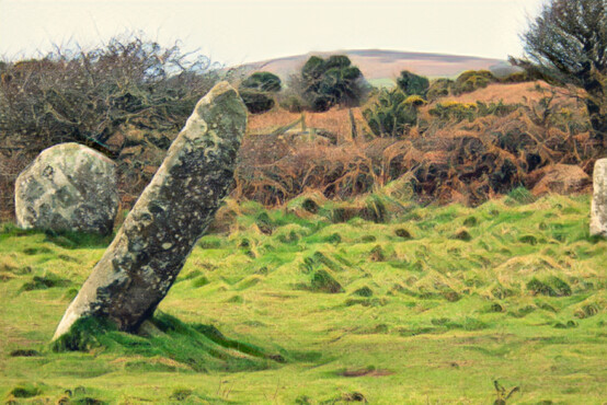
Chapel Carn Brea and its summit cairns seen from Boscawen-ûn
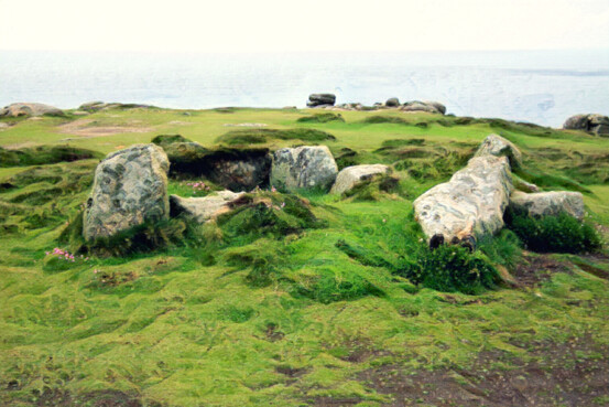
Chambered cairn at Mayon Cliff, near Sennen
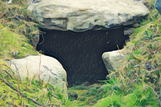
Chambered cairn at Treen, near Morvah
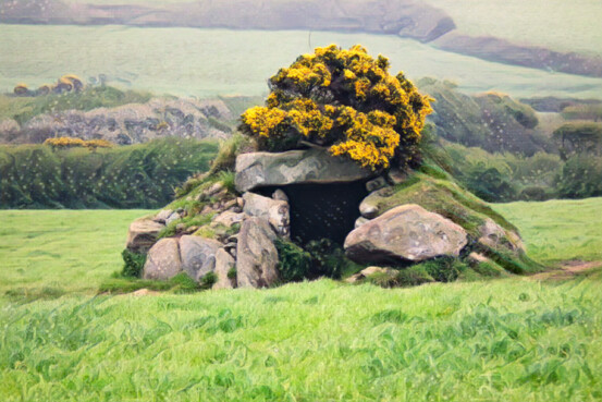
Chambered cairn at Brane
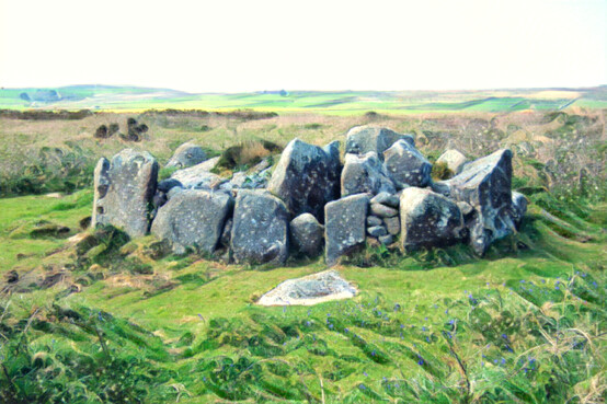
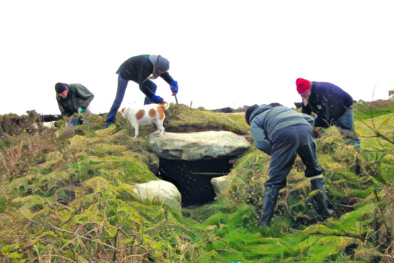
CASPN cleaning up the chambered cairn at Treen
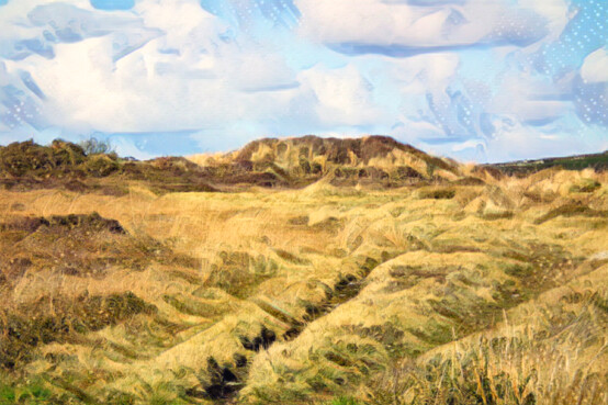
Truthwall Common C cairn at Tregeseal
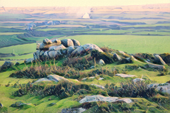
Neolithic longbarrow on Chapel Carn Brea
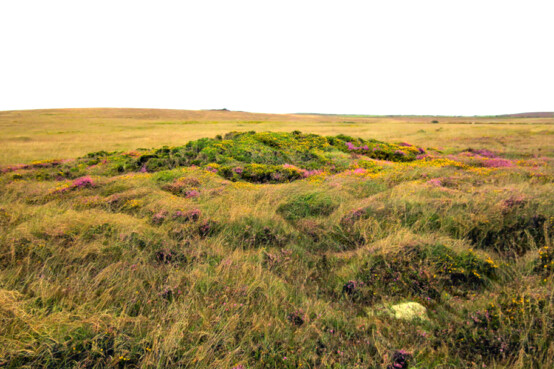
Cairn near Bodrifty (Bodrifty 4)
Maps and images from Chapter Eleven:
Standing Stones
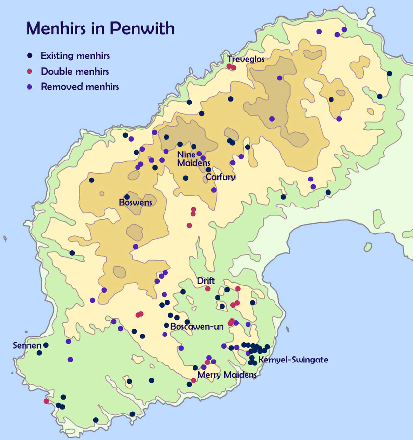
Menhirs in West Penwith, Cornwall, showing extant and removed menhirs and double menhirs.
Notice the conglomerations in the north and south of the peninsula. During the menhir-building period around 2300 BCE, the north was a settled landscape going back to the Neolithic, while the south was newly colonised - the menhirs played a part in that colonisation.
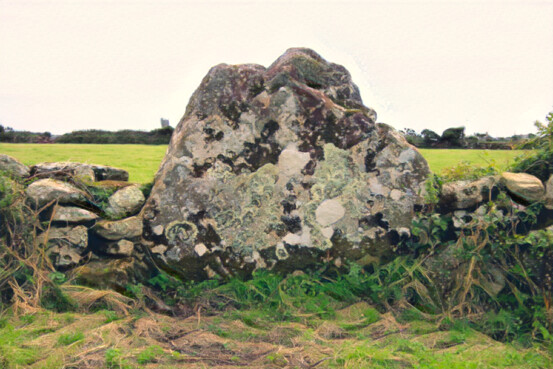
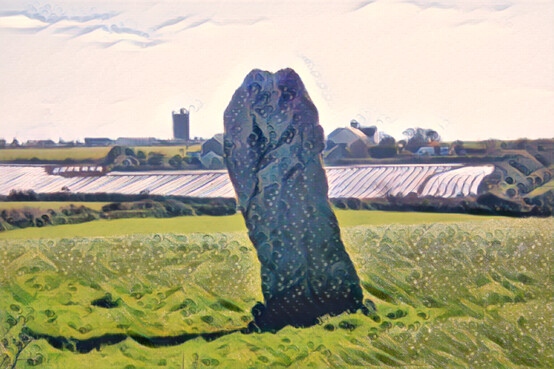
Banns Farm menhir
Trelew menhir
St Buryan church in the background
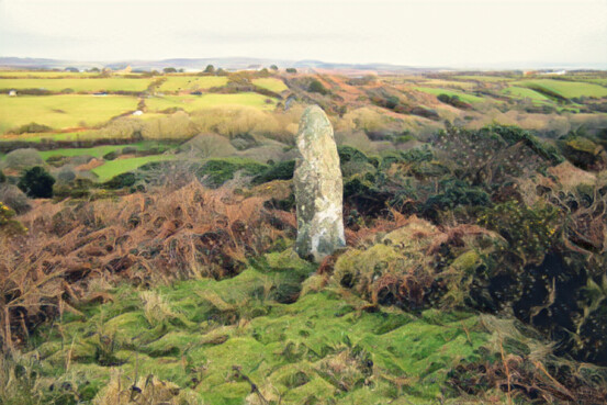
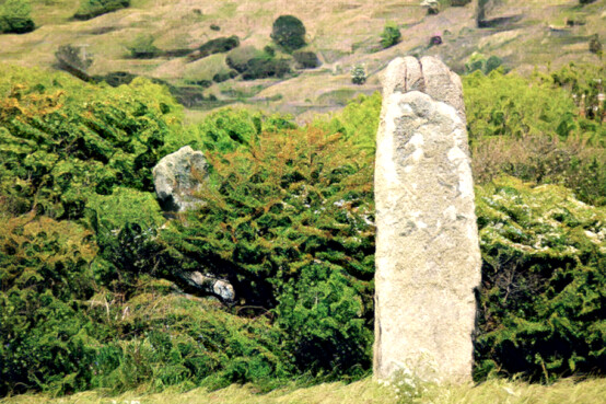
Carfury menhir
a major alignment centre and relay menhir
The Pipers double menhirs
two proxy menhirs at the Merry Maidens
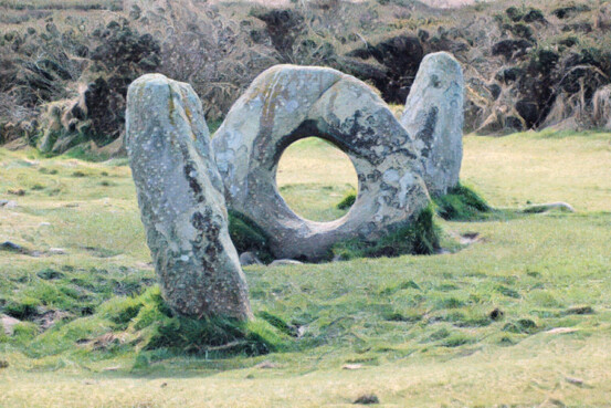
Mȇn an Tol
formerly a stone circle
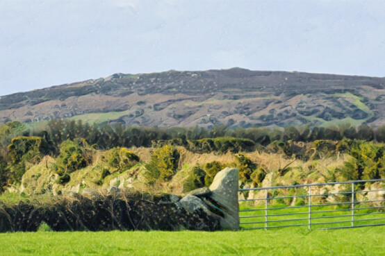
Not a menhir - a gatepost
From Trevorgans menhir - Chapel Carn Brea behind
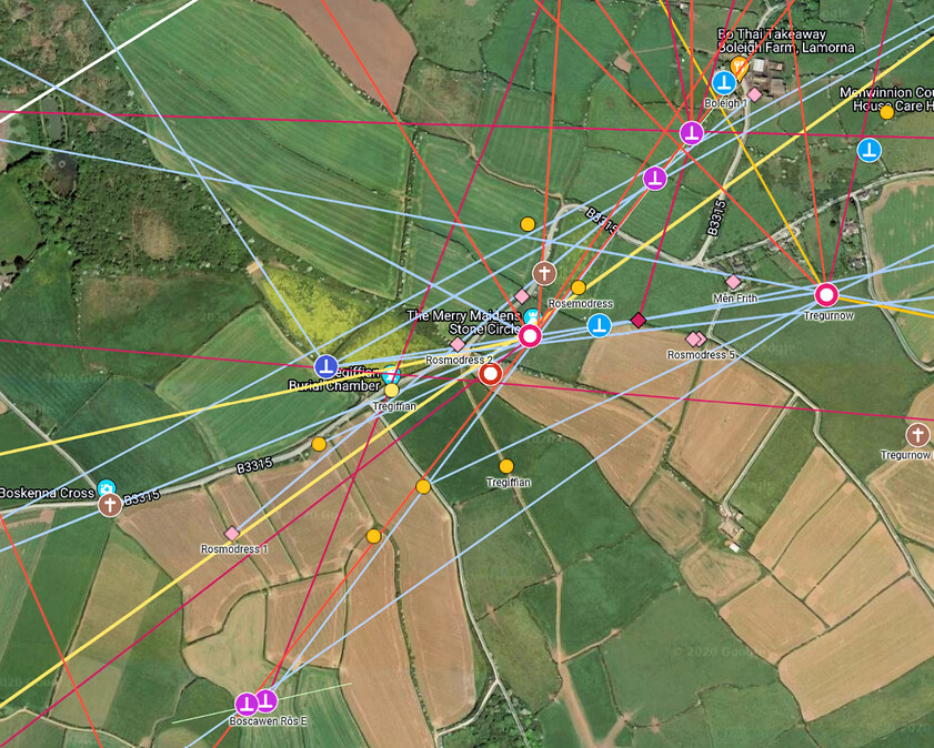
The Merry Maidens complex of sites and alignments. Each stone circle is surrounded by a complex - usually carns or menhirs - rather like a constellation of sites.
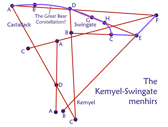
The Kemyel-Swingate complex of menhirs above Lamorna. A mysterious collection of menhirs, a few theories have been put forward, and this is one - that it contains the stars of the Plough or Great Bear constellation.
It seems to be experimental or educational in purpose, and it was presumably built and run by the people who ran the Merry Maidens complex.
See the Kemyel-Swingate menhirs on a map here.
Maps and images from Chapter Twelve:
Stone Circles
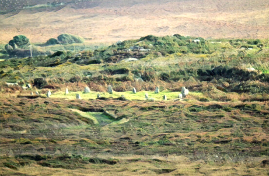
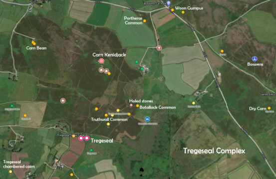
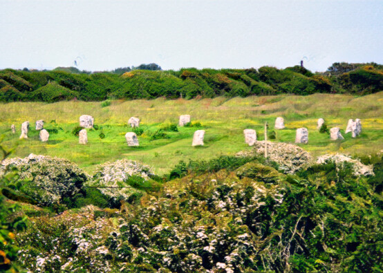
Tregeseal
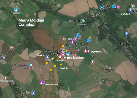
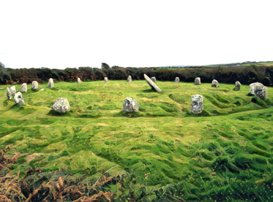
The Merry Maidens
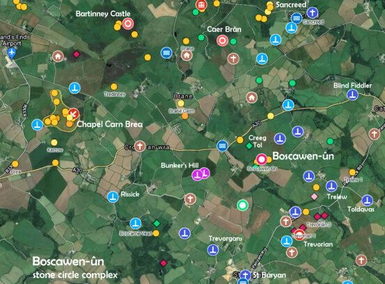
Boscawen-ûn
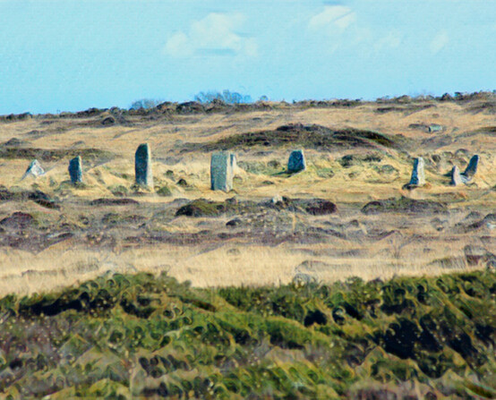

The Nine Maidens
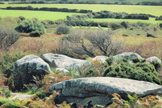
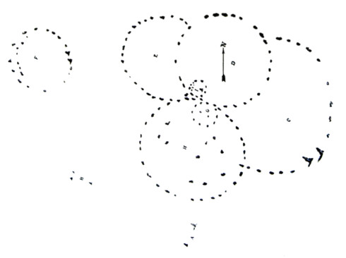
Boscawen-ûn as seen from Creeg Tol
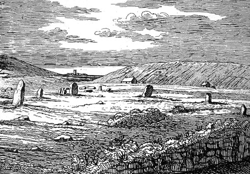
Borlase's map of the Botallack Circles, now gone
Etching of the now-destroyed Tregeseal West stone circle, by Cotton. Close by the surviving Tregeseal East stone circle, this one had a good view of the Isles of Scilly.
The Merry Maidens were also a double circle - Tregurnow stone circle is now destroyed.
Maps and images from Chapter Thirteen:
Hill Camps and Enclosures

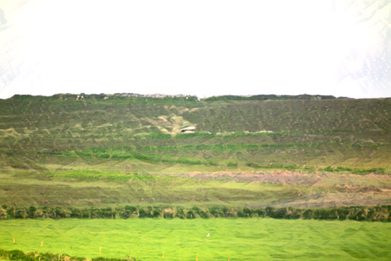
Caer Brân
Chûn Castle with Chûn Quoit below
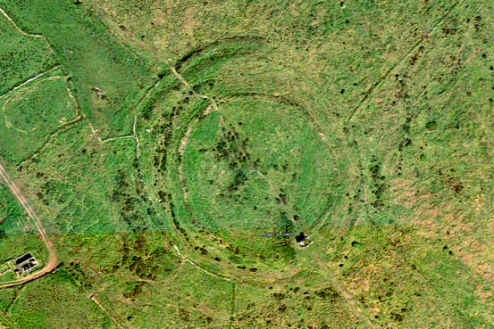

Castle an Dinas from above
Caer Brân from above

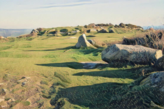
Inside Chûn Castle
On top of Trencrom Hill
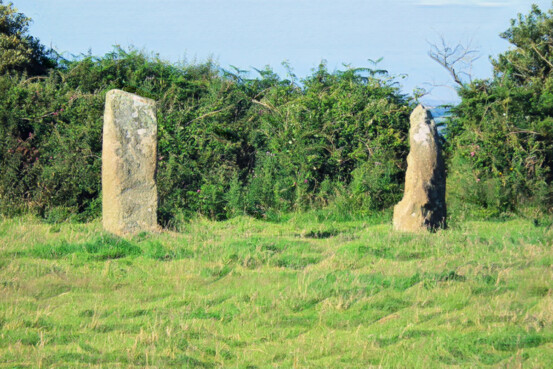
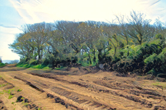
Gateway menhirs at Faugan Round
Lesingey Round
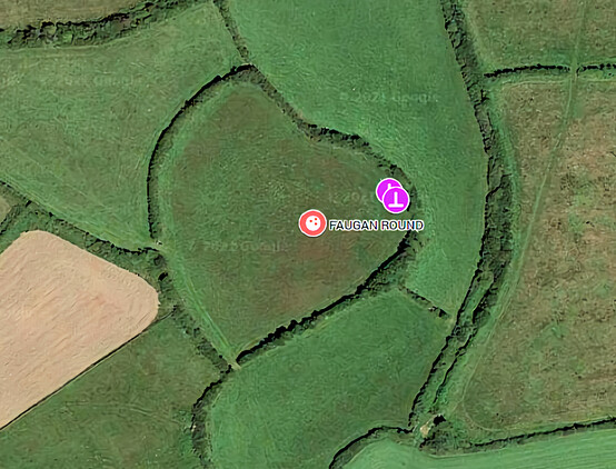
Faugan Round from above
Maps and images from Chapter Fourteen:
Settlements and Homesteads
Reconstructed iron age roundhut at Bodrifty
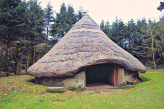
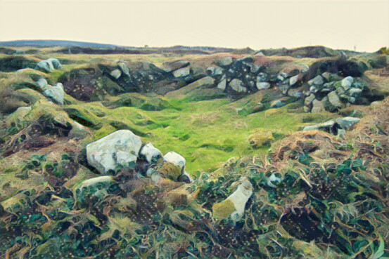
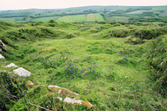
Bosullow Trehyllis
Botrea courtyard house settlement
Maps and images from Chapter Fifteen:
Fogous, Springs and Wells
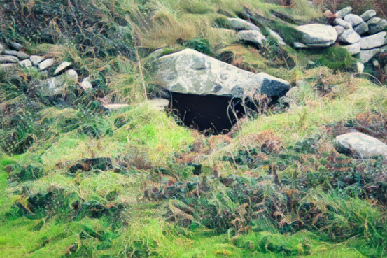
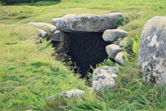
Boscaswell fogou
Carn Euny fogou
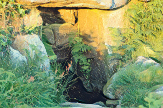
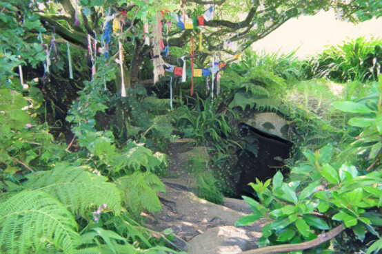
The hidden well on Trencrom Hill
Sancreed Well