Neolithic Tors | Friends in High Places
The neolithic tor enclosures, the first constructed ancient sites in Cornwall, were important in the mid-3000s BCE.
In Penwith they are found at Carn Galva, Trencrom Hill, Carn Kenidjack and St Michael's Mount.
Penwith also has a variety of hill camps and holy hills from later times and these are featured on another page.
Quicklinks: Carn Galva | Carn Kenidjack | St Michael's Mount | Trencrom Hill

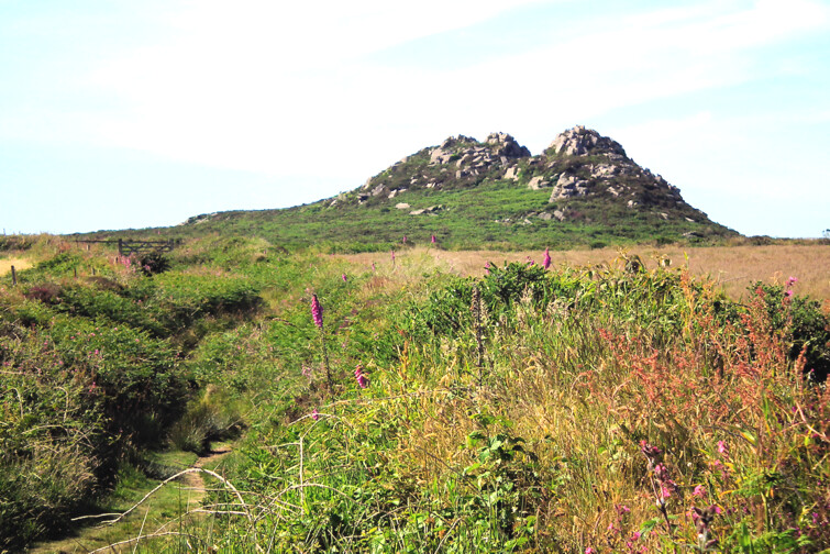
Carn Galva as seen from Caer Brân
Carn Galva
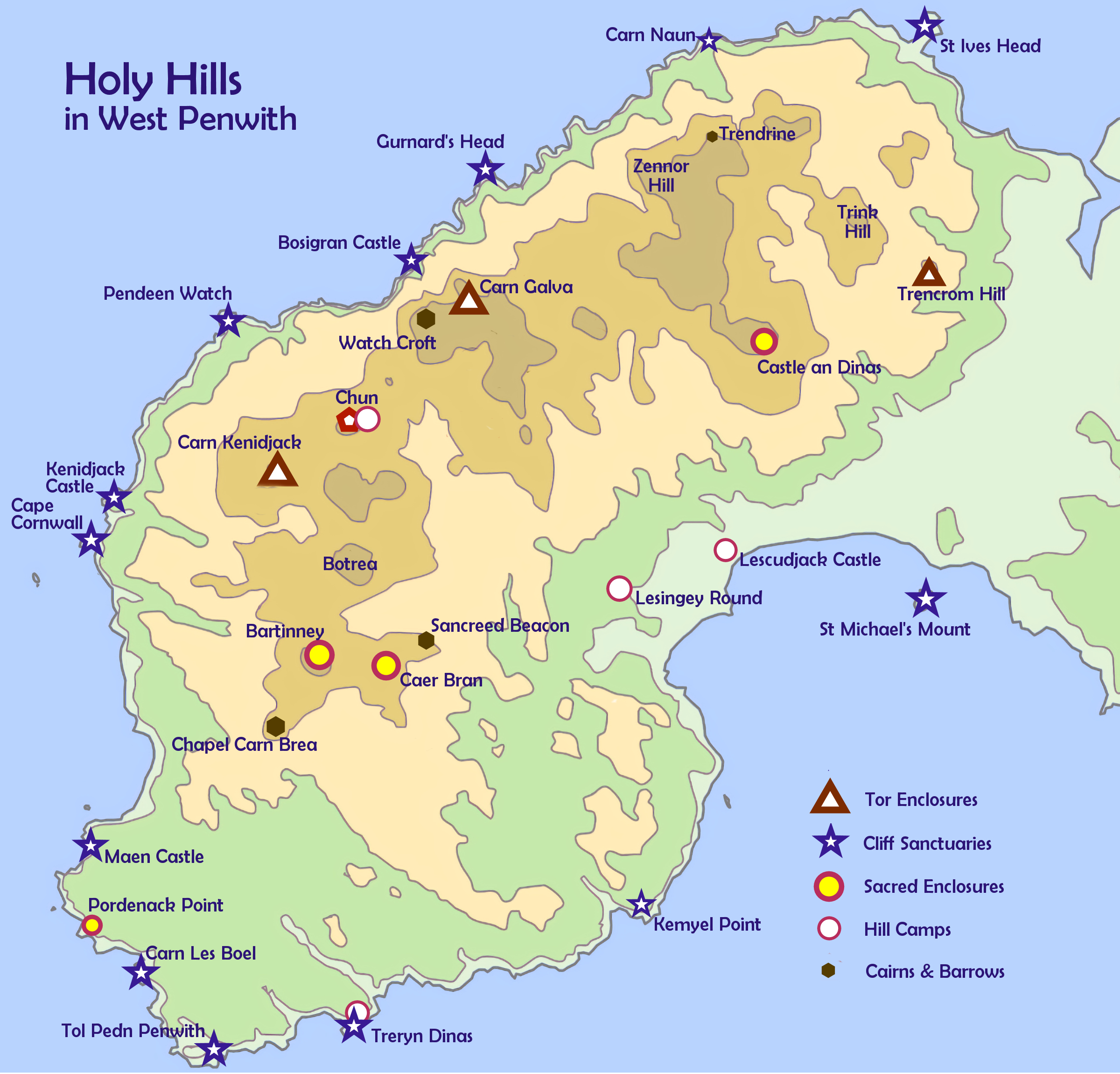
The Holy Hills of West Penwith - click to enlarge
Carn Galva
This tor enclosure was the central place, the axis mundi, of West Penwith in the mid-3000s BCE. Everything revolved around it (like the centre of town), and many Penwithians lived nearby.
Like a classic magic mountain it can be seen from many places quite a way away. Above left, it can be seen from Caer Brân, several miles distant.
It's a humpbacked dragon hill when seen from side-on, but when seen from the south it looks like a rounded pyramid, and from the north, from Bosigran Castle, it looks very different again.
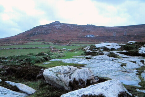
The north end of Carn Galva
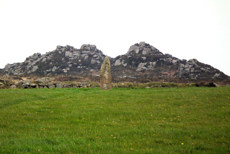
Carn Galva from Men Scryfa
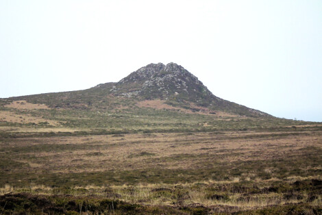
Carn Galva from the south
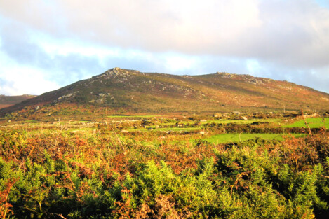
Carn Galva from Rosemergy
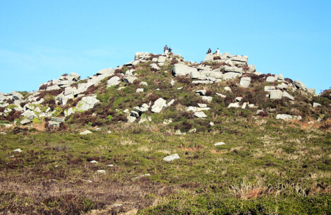
Carn Galva
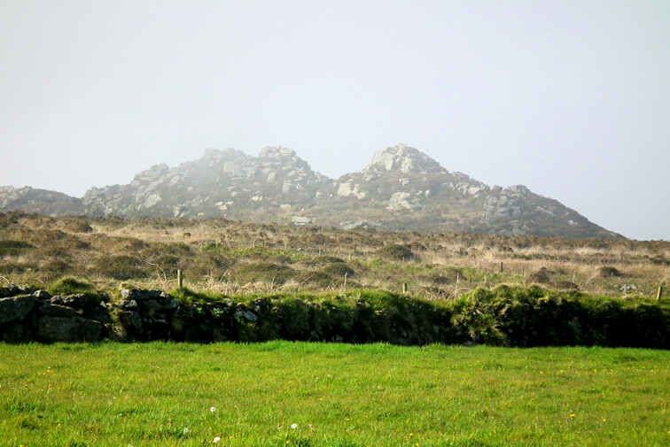
Carn Galva from Men Scryfa direction
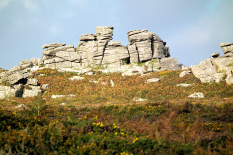
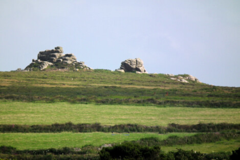
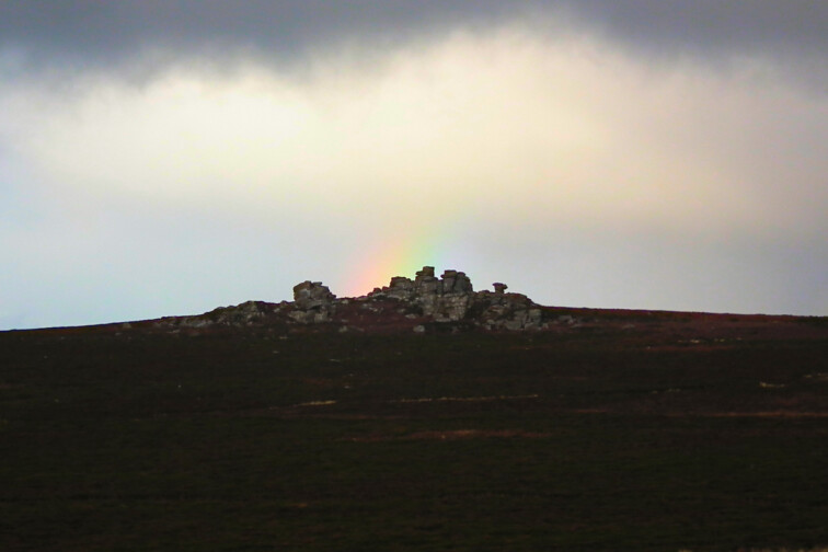
Carn Kenidjack
This bold neolithic tor hovers over the Tregeseal stone circle and is visible from far away - even from Scilly. On the right is its outline as seen from Chûn Castle.
It has a number of stones that might be placed or position-adjusted stones.
In the bronze age, the clan who looked after the Tregeseal and the Carn Kenidjack complex probably also controlled Cape Cornwall, Ballowall Barrow and Cape Kenidjack.
Between Carn Kenidjack and Chûn Castle the land was probably wooded, but the Tregeseal complex was probably landscaped parkland, designed to visually connect Tregeseal with the Scillies.
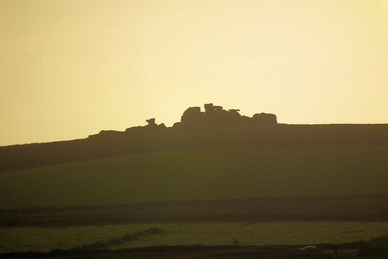
Carn Kenidjack from Chun
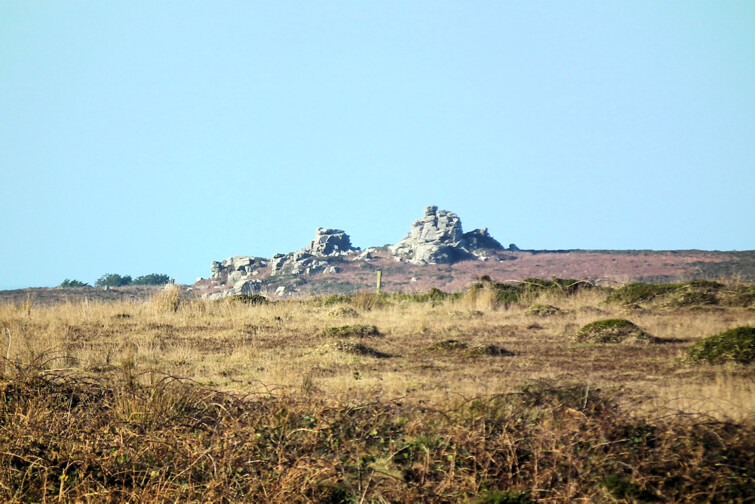
Carn Kenidjack as seen from Botrea Barrows
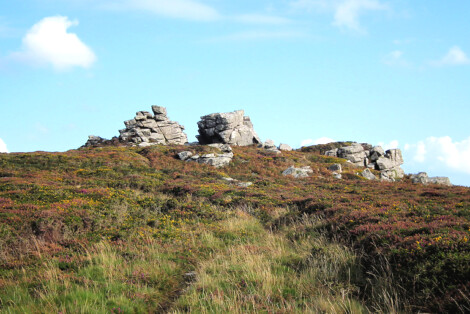
Carn Kenidjack
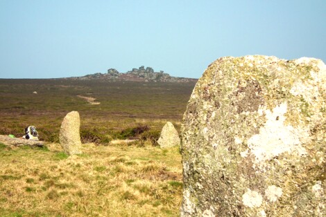
Carn Kenidjack from Tregeseal stone circle
Carn Kenidjack
Carn Kenidjack from Carn Eanes
Carn Kenidjack from Tregeseal, at a rather special moment
St Michael's Mount from Long Rock
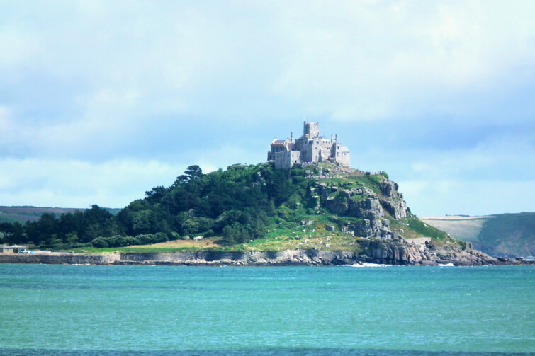
St Michael's Mount
Around 1700 BCE, this neolithic tor became a tidal island - the woods around it were inundated, possibly by a tsunami. Since time's beginning, sailors have landed at the Mount or nearby, and it has been a trading harbour with regular contact with France and Iberia.
It was occupied through the neolithic, bronze and iron ages, and medieval times to today. In the mid-19th C the railway came and Penzance outgrew it. Over time it has been a harbour, a village, a market, a fortress and a monastery.
The Mount is a key, focal ancient site in West Cornwall and a major alignments centre. It was Penwithians' main place of contact with visitors from far-off lands.
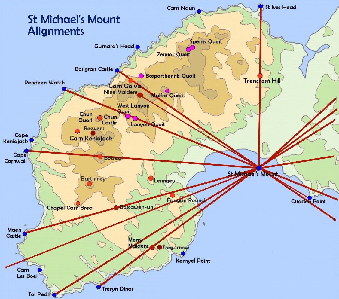
Major alignments from St Michael's Mount - click to enlarge
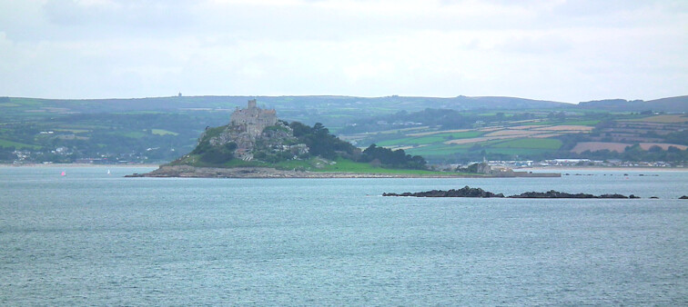
St Michael's Mount as seen from Cudden Point
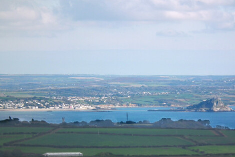
St Michael's Mount from Caer Bran
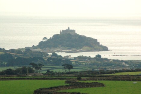
St Michael's Mount from Trencrom Hill
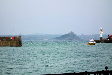
St Michael's Mount from Penzance harbour

Cudden Point and St Michael's Mount from Halzephron Cliff in the Lizard - with Watch Croft behind
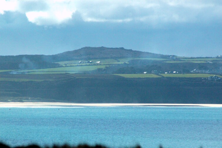
Trencrom Hill from the Towans
Trencrom Hill
Tor Crom is a tor enclosure that guarded Penwith from the wild folk upcountry. In a way, it still does. In the iron age, it was upcycled into a hill camp or hillfort.
It looks eastwards, with a rare view of both the north and south coasts of Cornwall. The summer solstice sun rises NE above St Agnes Beacon and the winter solstice sun rises SE over Godolphin Hill.
Here, people could live on top of the hill. It has a hilltop well, remains of iron age roundhouses and a rather grand ceremonial rock platform at the SE corner of the top of the hill. The enormous perched Money Rock, on the way up from the car park, is worth checking out too.
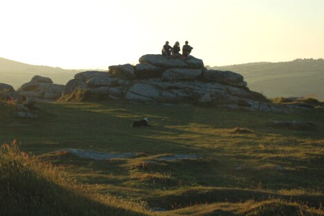
On Trencrom Hill
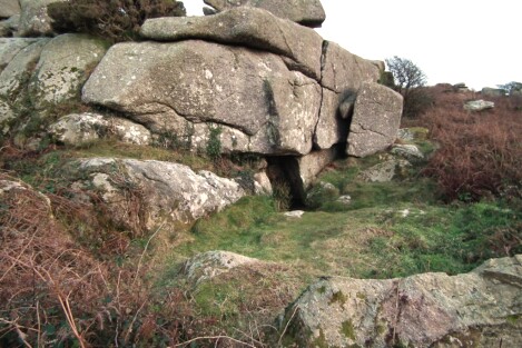
The ancient well on Trencrom Hill
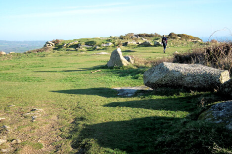
On top of Trencrom Hill
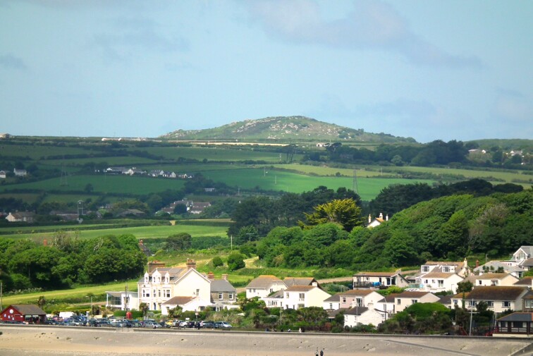
Trencrom Hill as seen from St Michael's Mount
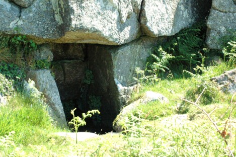
The ancient well on Trencrom Hill
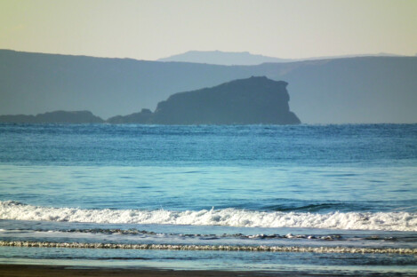
Trencrom Hill from Porthtowan, up the north coast of Cornwall
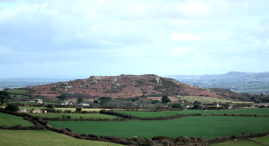
Trencrom Hill, with Carn Brea behind, as seen from near Castle an Dinas
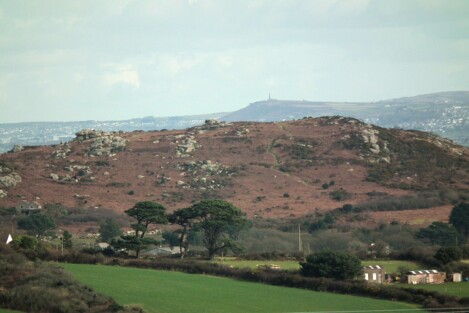
Trencrom Hill with Carn Brea behind
After about 3200 BCE the neolithic tors lost their primacy and the neolithic went into a downturn. By around 2300, in the bronze age, the stone circles became the main centres of activity in Penwith. By then the landscape had changed, and 30-50% of the wildwood had been cleared, creating new, man-made landscapes never seen before.
To find out more about neolithic tors, see:
For the most information: Chapter Four in Shining Land.
See also, on this site: A History of the Neolithic
To find these sites on a detailed online map, click here: Map of the Ancient Sites of West Penwith